A live picture in the first hours.
When a cyclone cuts off a valley, the first questions are what’s cut off and who needs help. ORCA splits the area between the drones you have, keeps going when the cell network is down, and builds the picture your emergency operations centre works from.
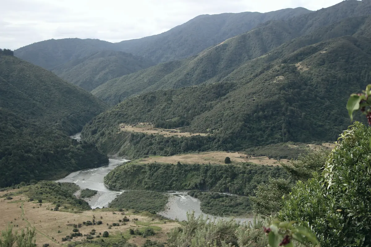 Tararua Range
Events are getting bigger. The first hours aren’t getting longer.
In a major event, information is the first thing to run short. Roads are cut, the network is down, and helicopters are grounded by weather or needed elsewhere. The emergency operations centre needs a picture of the whole area, not one valley at a time.
$9–14.5B
estimated damage from the 2023 Auckland floods and Cyclone Gabrielle.
Source: The Treasury, April 202380%
chance of another weather event on that scale in the next 50 years, Treasury estimates.
Source: RNZ, September 2024What ORCA runs in emergency management.
Each use case has its own page with a working demo, the outputs your team gets, and who it’s for.
Impact assessment
Assess a whole valley in the first hours: cut roads, bridges out, and people who need help.
See the demoLand search
Search the most likely areas first, through the night, and keep a drone over the person until the team arrives.
See the demoFire-risk watch
Hold lookouts over the ranges on extreme days, and report smoke with a location and images.
See the demoBuilt for the conditions an event creates.
Your team sets the objective and makes every call on a find. The fleet does the flying, shares the work and keeps the record.
Built for
- Civil Defence emergency management groups
- Police search and rescue
- Fire and emergency services
- Lifelines and roading teams
Keeps going without the network
If the link drops, the drones share the plan between them and finish the job. One can hold a relay on a ridge to bring the link back.
The most likely ground first
Searches are ordered by probability, so the areas that matter most are covered first.
One operator, many drones
An event needs every trained person you have. One operator runs the whole fleet.
On the record
Coverage, finds and every gap explained, exported to ArcGIS and your reporting.
See ORCA on your emergency management work.
Tell us about the ground you look after and where it’s hardest to cover. We’ll walk you through how a fleet would run it, and what a first trial could look like.