Find it while it can still be stopped.
An incursion is won or lost on how fast you can search the ground around a sighting, and how surely you can say an area is clear. ORCA puts a whole fleet on that search, run by one officer, with every hectare on the record.
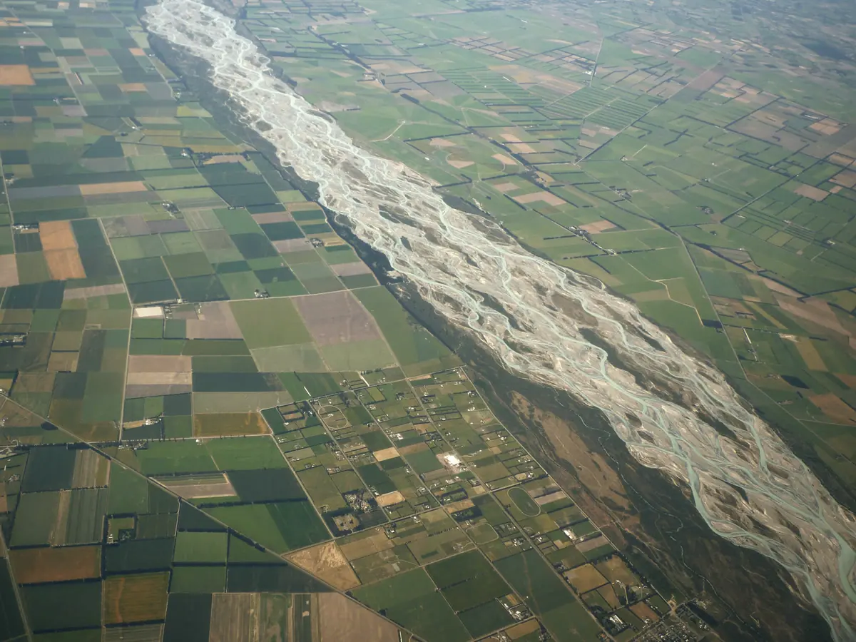 Rakaia River, Canterbury
The ground is growing faster than the teams that check it.
Pests spread across farmland, riverbeds and high country that takes days to walk. Most programmes can only check a share of their sites each season, and the search after a sighting is limited by how many people can get there.
90,000ha a year
the rate wilding conifers were spreading before the national control programme began.
Source: Ministry for Primary IndustriesWhat ORCA runs in biosecurity.
Each use case has its own page with a working demo, the outputs your team gets, and who it’s for.
Incursion response
Search the ground around a sighting, nearest first, with every part accounted for.
See the demoPest-plant programmes
Every site on the programme list checked each round, and likely finds ranked for your officer.
See the demoProof of absence
Repeat passes to an agreed standard, every cell logged, so you can show an area is clear.
See the demoOne system for the whole response.
Your team sets the objective and makes every call on a find. The fleet does the flying, shares the work and keeps the record.
Built for
- Biosecurity agencies
- Regional council biosecurity teams
- Pest management programmes
- Programme partners and contractors
Search outward from a sighting
Set a radius. ORCA splits it into sectors and searches nearest-first, so the ground most likely to hold the pest is covered first.
Every site, every round
Load the programme’s site list. The fleet shares it out, checks every site and ranks likely finds for your officer.
Evidence that an area is clear
Repeat passes on the same lines, to the standard you set, with every cell logged and every gap explained.
On the record
Coverage, finds and every gap explained, exported to ArcGIS and your reporting.
See ORCA on your biosecurity work.
Tell us about the ground you look after and where it’s hardest to cover. We’ll walk you through how a fleet would run it, and what a first trial could look like.